Why Take This Hike
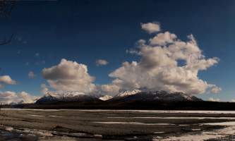
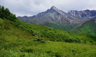
No official trail in Southcentral Alaska climbs as high as Matanuska Peak Trail. Beginning in a subdivision across the Matanuska River from Palmer, this nearly 6-mile-long trail runs up some 5,700 vertical feet. Your destination is the 6,119-foot summit of Matanuska Peak, the very prominent rock spire that fills the sky just east of Palmer. But despite the imposing appearance of this mountain, the trail to its summit requires no extensive rock-scrambling or rock-climbing skills; just some boulder hopping, a bit of balance, and a lot of energy.
The Draw
By the time you get out of the car at the end of Smith Road in eastern Palmer, you’ll have already climbed some 400 feet. That leaves around 5,700 feet to go. Yes, that seems like a lot, and it will take a fair amount of time to do it. But the variety of landscapes you climb through makes the journey seem shorter.
Past the gate on Smith Road, the trail first follows a dirt road to a second gate, after which it turns off the road and begins climbing through an open forest. If you’ve chosen to climb on a sunny day, enjoy the shade; if you climb on a windy day, enjoy the protection. Conditions will become more intense the higher you climb.
After about 2 miles hiking through these lower woods, the trail takes you up onto the open tundra in the upper McRoberts Creek Valley. More of an ancient glacial cirque than a valley, the landscape here makes for some dramatic hiking; jagged peaks rise on three sides as you continue following McRoberts Creek back to its headwaters.
Following the trail up along the creek, you’ll eventually reach a picnic table. Many people choose to end their climb at this spot because the roughest climbing still lies ahead: 2,300 feet of mostly rocky trail. But if you still have the energy, continue on. The rest of the climb is quite memorable, both in terms of effort and reward.
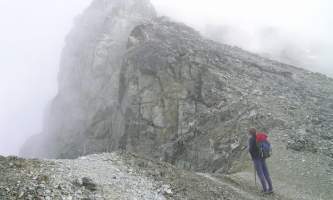
Just past the picnic table, the trail will at first seem easy enough to climb. But once you turn up and away from the creek and begin climbing the broad slope toward the summit, the trail begins to slant more steeply and crosses an increasing number of boulders. Before long, you’ll be following not so much a trail as a route over the rocks marked by wands.
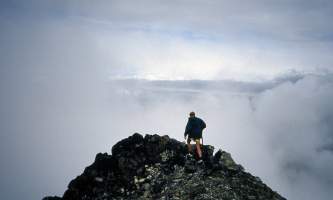
This last section, though, is not excessively steep—you don’t have to worry about any exposure or big falls. But exercise some care not to twist an ankle or scrape a knee. In another 0.25 miles the slope rounds off for the last steps to the summit (6,119 feet).
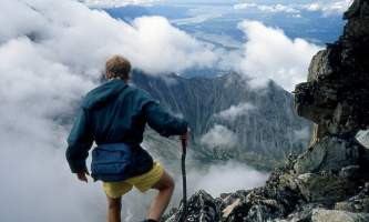
From this high perch, it may seem you’re looking down on all of Alaska. Spread your arms and enjoy the sensation—it’s not very often that we tiny specks of humanity will feel so tall. Don’t let the mood go to your head, though. After all, you can’t stay up there indefinitely, and you still have a long way to hike to get back home.
Difficulty: Difficult
Type: Out and Back
Trail Uses: The Matanuska Peak Trail is maintained by the MSB Parks and Outdoor Recreation Division for hiking during the snow free months. An annual mountain running event is held on Lazy Mountain and Matanuska Peak in July.
*Take note - Bears and other wildlife are native to the area and proper precautions should be taken to make your presence known. Keep dogs on leash and/or under your control.
(For more, see Walk-About Guide to Alaska, Volume Three by Shawn R. Lyons)


