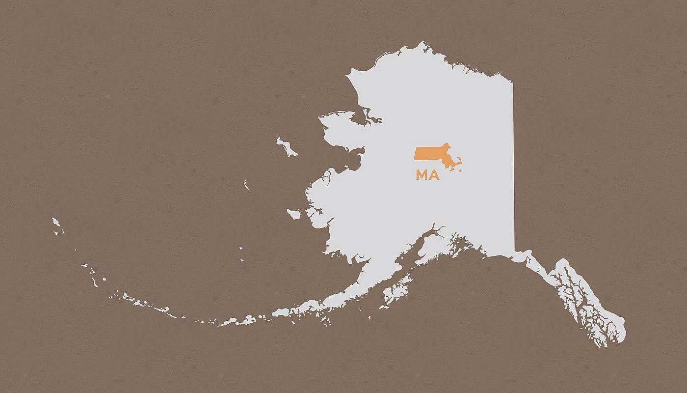
How Big is Alaska?
Compare Massachusetts to Alaska

Alaska Is Big!
- You could fit Massachusetts into Alaska 62 times! One-fifth the size of the Lower 48, Alaska is bigger than Texas, California, and Montana combined!
- Alaska is also far-flung: 13.4 times wider (east to west) and 15.2 times taller (north to south) than Massachusetts. From north to south, Alaska measures 1420 miles, the distance from Denver to Mexico City, and east to west 2500 miles, the distance from Savannah, GA to Santa Barbara, CA. See detailed Alaska maps.
- Alaska also has the most northern point (Point Barrow) and the most western point (Cape Wrangell, Alaska -- further west than Hawaii) in the U.S.
Water & Coastline
- Alaska has 35 times as much inland water (in lakes, reservoirs, and rivers) as Massachusetts. In fact, Alaska has 3 million lakes over twenty acres big.
- Alaska has more than 50% of the entire U.S. coastline, or 6,640 miles. Massachusetts has 192 miles of coastline!
Population Density
- Massachusetts has 617 times more people per square mile.
- If Massachusetts's population density were the same as Alaska’s, only 10,433 people would live in Massachusetts rather than 6,433,422 (based on 2003 data).
High Point
- Alaska’s high point, Mt. Denali (20,320 feet), rises 3.2 miles above Massachusetts’s high point, Greylock, at 3,491 feet.
- Not only is Mt. Denali the highest mountain in North America, but Alaska has 15 other peaks higher than any in the continental U.S.
Road Density
- Alaska has 640 sq. miles of land for every mile of paved road. Massachusetts has 5 sq. miles of land for every mile of road. In other words, Alaska’s land-to-road ratio is 118.1 times greater.
- Only 20% of Alaska’s roads are paved versus on average 91% for the other 49 states. During the long, cold grip of winter, Alaskans build ice roads to traverse rivers and ground that is otherwise too soft to drive.
Air Travel
- Alaska has 8.5 times more active pilots per capita than Massachusetts.
- Alaska has 102 seaplane bases, far more than any other state.
