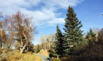
After parking, continue down the road until it narrows into a trail. The land crosses briefly some private land. Hundreds of people hike or ski this trail every year. The trail is a gradual ascent up Rabbit Creek Valley, with the creek and McHugh Peak on the right and the back side of flattop, and Ptarmagan Peak on your left. The trail starts in alders, but within a mile or two, opens onto alpine meadows. The trail eventually takes you to the head waters of the creek, which sits just before the south and north Suicide peaks. Should you decide to, you can get off the trail and do any of the peaks just noted en route, or take a right and follow another trail that is almost perpendicular to the first and known as McHugh Trail.
Rabbit Creek Park Trail
Difficulty
Moderate


