Portage Glacier
One of the most visited glaciers in Alaska, Portage completely covered its lake and reached into the valley in the 1800s. With a terminus well past the current location of the Begich, Boggs Visitor Center, the glacier is legendary for its use by Alaska Natives and Gold Rush pioneers to “portage” between Prince William Sound and Turnagain Arm. After steadily retreating over the 20th Century and exposing a chilly, 600-foot-deep lake between sheer mountain walls, Portage finally slipped from view in the 1990s. Its face is now behind the left-side mountain, about three miles from the lakeside parking. Scientists say it appears to be currently stable and has not retreated much since 1999. Still, Portage remains a very active glacier, with its face regularly shattering and dropping great hunks of ice into the lake like a giant conveyer belt. Depending on recent events and weather, icebergs and brash will be visible in the lake near the visitor center.
How to View
Day Cruise
During summer, most people approach Portage aboard the 80-foot MV Ptarmigan with Portage Glacier Cruises. It’s a fun marine outing, suitable for families with children, known for lively commentary by its guides. The vessel will motor within 300 feet of the craggy face and its royal blue fractures. For weather-free virtual viewing, the visitor center also has many photos and interactive exhibits about Portage Glacier and its stunning retreat over the past century.
Paddling Options

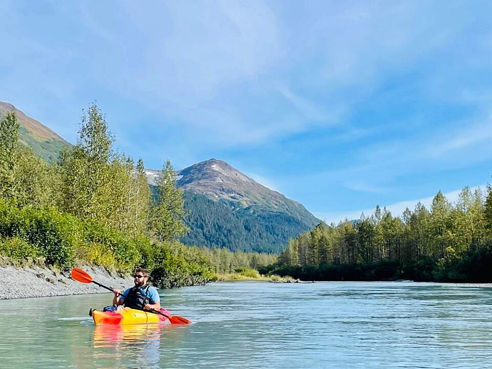
AK Paddlesports makes is easy to get out on the water
People are permitted to paddle non-motorized craft like kayaks from a parking area on the north side of Portage Lake (after the first tunnel on the road to the Anton Anderson Memorial Tunnel to Whittier.) The boats must keep to the north side of the lake and can be landed at the beach at the base of Portage Pass. The south side of the lake and the immediate vicinity of the glacier are off-limits. AK Paddlesports offers kayaks and canoes for rental.
Caution: Portage Lake is notorious for sudden winds that produce treacherous waves, and is very cold.
Hiking Options
It’s a short, steep hike to Portage Pass from the Whittier side of the tunnel, with a stunning head-on view of the glacier and its rise into the mountains. Hikers can then descend to the beach along Portage Lake. It’s 2 miles and 750-foot climb in elevation to the pass. Be alert to black bears and go prepared for windy and wet weather.
Winter Options
Winter is a whole different world. Once Portage Lake freezes solid, people regularly ski, hike, ice skate or ride bikes about three miles to the vicinity of Portage Glacier. Be aware that this is “wild” ice with no official monitoring for safety or thickness, and the glacier face continues to calve during winter without warning. (Stay well back from the face!) Conditions can vary dramatically, from sheer glare ice to deep snow to slushy overflow. If you’re prepared for what amounts to a backcountry trip, though, viewing the sparkling, brilliant glacier face on a sunny winter day can be exhilarating.
Getting There
Coordinates
Latitude: 60.75111Longitude: -148.795
Head south from Anchorage on the Seward Highway to the head of Turnagain Arm. Turn east on the Portage Glacier Road and drive about five miles to the shore of Portage Lake, with parking and the Begich, Boggs Visitor Center. Continue south on the road as it curves around the lake another 1.6 miles to the marina for Portage Glacier Cruises.
If you do not have a vehicle, AK Tripping offers private transportation with an experienced local driver for groups of up to 3 in comfortable Subaru Foresters.

