Why Float This River
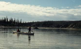
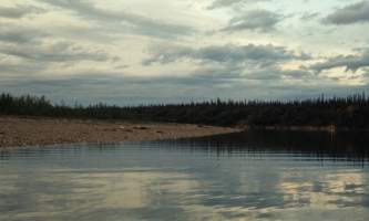
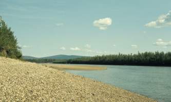
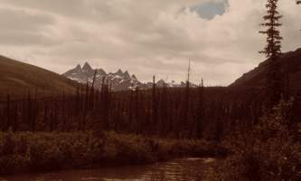
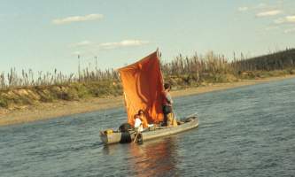
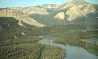
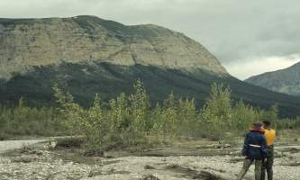
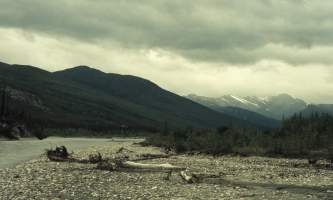
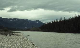
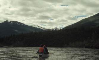
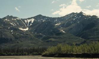
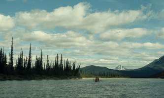
The Alatna River is a federally designated wild and scenic river that lies, partially, within the boundaries of The Gates of the Arctic National Park. It originates in the central Brooks Range and flows through the Endicott Mountains. It flows past Circle Lake, has beautiful views of the Arrigetch Peaks and eventually flows through the Helpmejack Hills. The lower section of the river flows in a SSE direction through the Alatna Hills to its confluence with the Koyukuk River near the small village of Allakaket. The first 25 miles, from its headwaters, are shallow and rocky. The next 15 miles continues shallow and rocky with small Class II+ rapids. The river then mellows out near Circle Lake and Takahula Lake, and becomes deeper with more meanders while the scenery turns from mountain peaks into hilly boreal forest. The river is very popular for float trips due to its calm flow and wonderful scenery. Float trips usually take from 4 to 14 days, depending on put-in spot and take-out spot, and also weather/river conditions with the longest distance 184 miles from its headwaters to Allakaket. Best done in Inflatable kayak or small raft.
Put In
The most common put in site is at Circle Lake, a small lake that is floatplane accessible and is located in a beautiful part of the valley and can be organized from the town of Bettles or Coldfoot, Alaska. It is a 137 mile section of Class I river that is best done in inflatable kayaks even though a small inflatable raft could work, but the current is slow and meandering and the hiking is not as good as in the upper headwater section but the wilderness and wildlife is all around and campsites are plentiful. Allow yourself 9 days for this run. To start at the headwaters for the 184 mile section, a floatplane is also needed to get you to Gadeke Lake and you will need up to two weeks to complete the run. From Gadeke Lake a 4- mile section of very shallow and rocky creek must be lined and or portaged to where it joins the main river and Class III rapids are found above Ram Creek. A shorter section of river can also be done by flying in a floatplane to Takahula Lake to start your trip.
Take Out
Take out options are several. Most groups plan on floating all the way to the small town of Allakaket at the confluence with the Koyukuk River and located across the river on river left, the south bank. The smaller village of Alatna does not have the airstrip you will need to get back to Bettles or Coldfoot. There are some upriver takeout spots such as Malamute Fork or Helpmejack Creek. These can be best sorted out by speaking with the flight service you plan on using.
The Trip
Gadeke Lake to Circle Lake: 50 miles
Gadeke Lake is a lovely spot to begin a wilderness float with the alpine tundra and mountains within close access. However the outflow of the lake is a mere trickle at times and all trips wind up having to line and drag their boats the 4 miles to where the first confluence is. A raft would be virtually impossible to get downriver from this point. Once on the main river there are still numerous sweepers to avoid and swift current as you are heading into the deep boreal forest of the middle stretch of river. At mile 25 above the confluence with Ram Creek there is a series of rapids that are Class III and can be lined along the shore to avoid a capsize. The Arrigetch Peaks are the rugged mountains of this upper section and a hike up towards them is very rewarding. Numerous small rapids are in this winding stretch of river.
Circle Lake to Malamute Fork: 60 miles
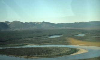
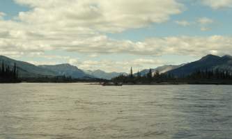
A floatplane is needed to get here if you are using this as your starting point. This is the stretch of river where the water gets deep and the channel is meandering along at a leisurely pace. Below Takahula Lake, another possible starting point, the river begins huge, meandering oxbow like features. The forest is deep with alders and willows and is a tenacious barrier to hiking. Bears are common in the area as well so you will need to be vigilant if you choose to hike in the thick brush. At Malamute Fork there is a gravel strip where planes can land.
Malamute Fork to Allakaket: 75 miles
From this point, the river is now a big river with deep channels and large meandering oxbows and extensive lake country where fishing is good. Sweepers are still something to watch for but rarely will they span the whole channel.
Other Advice
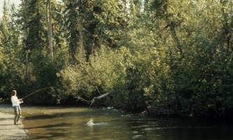
Most times the river is clear and has decent fishing as you go along. When the river is cloudy from heavy rains, the upper section turns into a fast paced slalom course around rapids and sweepers.
Alatna River GPS Coordinates
Helpmejack Creek
If you plan on using this as a take out, you should sort it out by speaking with the flight service you plan on using. Take out option for Alatna River.
66.98837800, 153.71875800
Gadeke Lake
To start at the headwaters, a floatplane is needed to get you to Gadeke Lake. Put in option for Alatna River.
66.57000000, -152.62500000
Allaket
Fly out here to get back to Bettles or Coldfoot. Take out option for Alatna River.
66.56847700, -152.62762100
Takahula Lake
A shorter section of river can also be done by flying in a floatplane to Takahula Lake to start your trip. Put in option for Alatna River
67.35387700, -153.66459800.
Circle Lake
The most common put in site is at Circle Lake, a small lake that is floatplane accessible and is located in a beautiful part of the valley and can be organized from the town of Bettles or Coldfoot, Alaska. Put in option for Alatna River.
66.57000000, -152.62500000
USGS Maps
Survey Pass A-1, A-2, B-2, C-2, C-3, C-4, C-5, D-5
Hughes C-1, D-1
Bettles C-6
Distance
135-185 miles
Days
4-14
Difficulty
Moderate
Class
II
Craft
Raft
Kayak
Cost
$$$


