Historic Park or Site
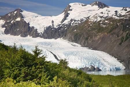
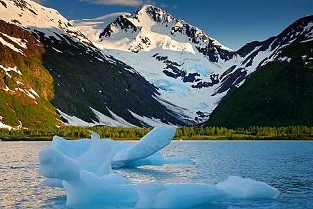
Glaciers are formed when more snow accumulates than melts through the seasons. The weight of the snow creates pressure that turns snowflakes into dense, rivers of ice that shape the land.
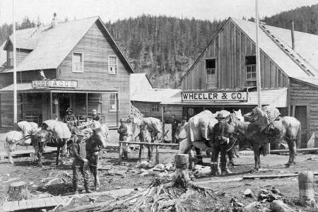
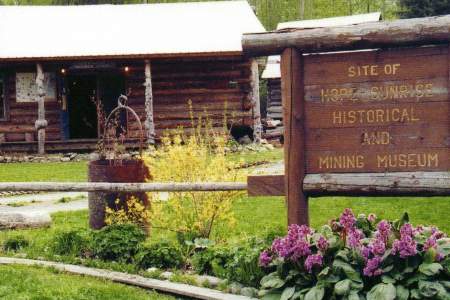
The Hope-Sunrise Historical and Mining Museum exhibits photographs and artifacts of the Turnagain Arm Gold Rush of 1896 and the years since.
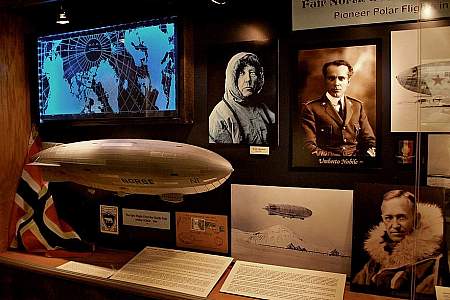
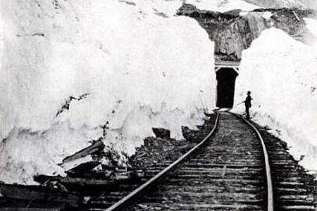
Whittier was built as a deepwater port and railroad terminus to transport fuel and supplies during World War II. Come inside the Anchor Inn where a small but fascinating museum gives a glimpse of Whittier’s interesting history.
Look to the south and you’ll see a WWII era building. Troops were stationed at Cordova.
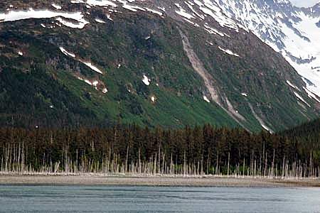
Believe it or not, but this area used to be covered by tall trees!
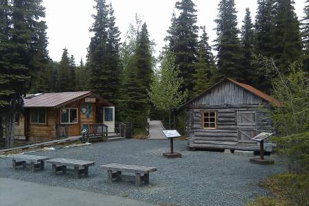
This cabin, possibly the oldest in the Canyon Creek drainage, is a symbol of the area’s rich gold mining history. The cabin was built and used by the first generation of Canyon Creek miners. Northern European craftsmanship went into the construction of this cabin. The corner logs were dovetailed and hand-hewn. The ridgepole was hewn to fit the shape of the roof’s peak. Horizontal logs were rounded on the outside of the building and hewn flat… ...more
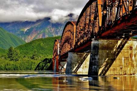
Construction of this early-1900s bridge cost a whopping (at the time) $1.4 million, which earned it the nickname Million Dollar Bridge. But the bridge quickly earned its keep, allowing the railroad to haul copper from Kennicott to the port of Cordova.
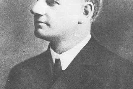
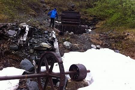
Palmer Creek and the road that follows it were named after George Palmer, who in 1894 first discovered gold on its banks. The creek was the site of early placer mining and later lode mining. Evidence of the historic Lucky Strike and Hirshey mines, as well as the Swetmann camp, can be found along trails that lead to Palmer Lakes. Several hiking trails are accessible from the Palmer Creek Road.
Trails were established by prospectors traveling through the Turnagain Pass area. The Ingram Creek trail followed the creek from Turnagain Arm up to Turnagain Pass. After the pass, the trail followed Granite Creek to Sixmile Creek, which then led prospectors to Sunrise and Hope.
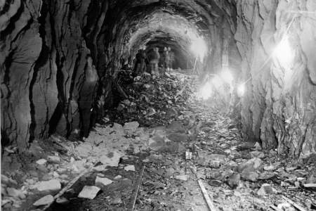
The Wible Camp is marked by Gold Rush Centennial interpretive signs at a pull-out 3.2 Miles south of the Hope Junction on the Seward Highway. Looking east of Canyon Creek, visitors can see a straight strip of alder brush on the hillside where miners dug a ditch used for hydraulic mining. The ditches were dug to collect and divert water into metal pipes. The highly pressurized water then scoured hillsides. Location Milepost 59.5 Seward… ...more
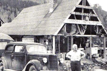
The Kenaitze Indian Tribe’s Dena’ina ancestors, recognizing the abundance of the place called Yaghanen, “the good land,” settled along the banks of its rivers and Tikahtnu (Cook Inlet). In the past several years, one location the Kenaitze Tribe has focused on is Sqilantnu, meaning “the grocery store,” located in the area now called Cooper Landing. Today, Kenaitze Indian Tribe partners with the Chugach National Forest to preserve, protect and ...more
About 75 Miles Southeast of Anchorage
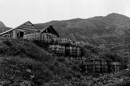
Fox Farming prospered on dozens of Prince William Sound islands in the 1920’s and 30’s. Farmers raised prized blue and silver Arctic fox and sold them to fashion-conscious Europeans for up to $500 per pelt.

